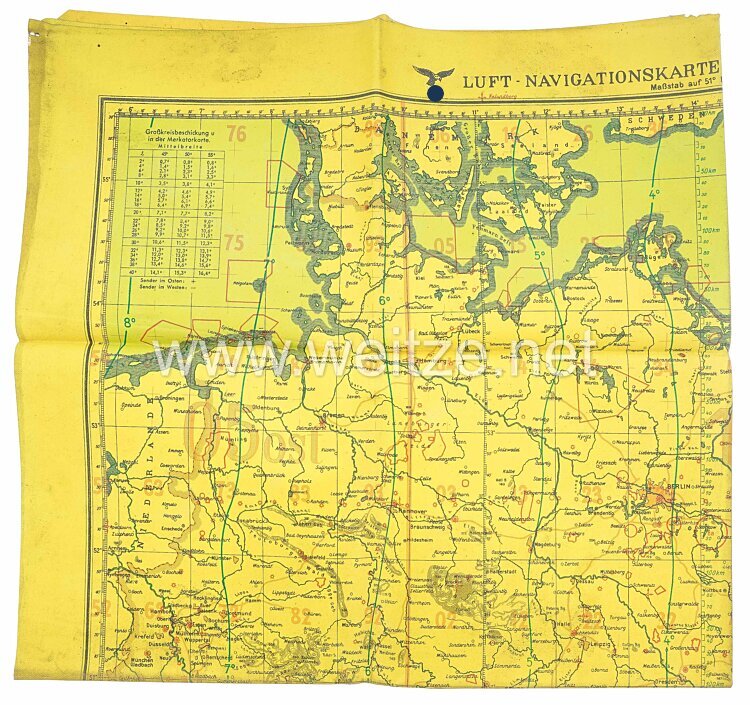
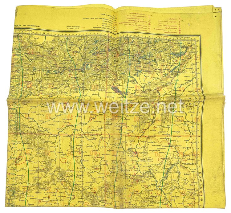
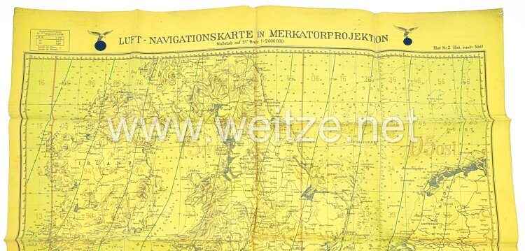
Luftwaffe Navigationskarte in Merkatorprojektion (Britische Inseln)
beidseitig gedruckt, Herausgegeben vom Generalstab der Luftwaffe 1940, gummierte Karte im Maßstab 1:2000 000, rückseitig Fliegerkarte: Deutschland. Karte im gelben Farbton für Nachteinsätze. Ecken beschädigt, Zustand 2.