Military Antiques
>
Edged weapons and equipment
>
Militaria - general, other countries
Frankreich
>
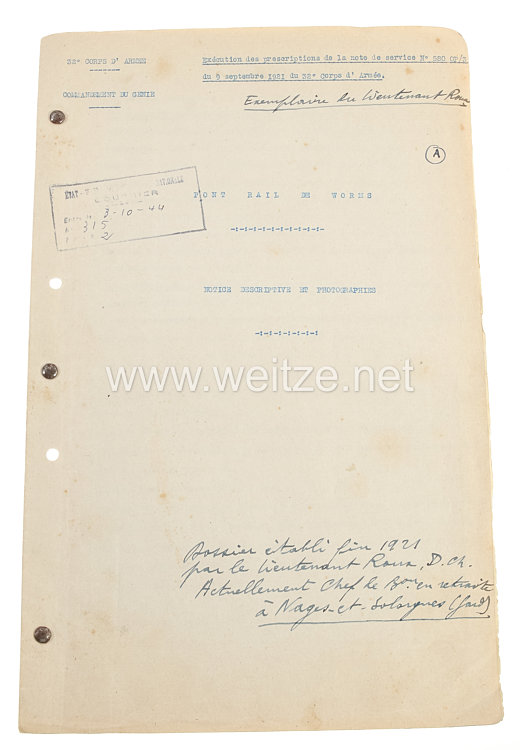
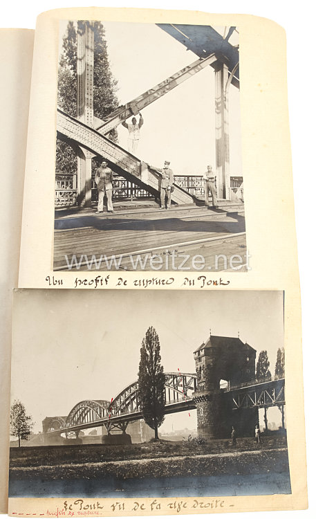
Frankreich Fotoalbum Besatzungsarmee im Rheinland Fotografisches Protokoll der Bahn-Brücke in Worms, 9. September 1921
herausgegeben von 32. Armee-Korps, insgesamt 5 Totos, mit französischen Text, Zustand 2
364990
€
100,00
To the previous article with photo
To the next article with photo
de
en
ru
fr
cn
Helmut Weitze Militärische Antiquitäten KG
Home
Contact
+49(40) 471132 0
info~AT~weitze.net
Neuer Wall 18, 20354 Hamburg
Mo - Fr 10 – 18:30 h, Sa 10 – 13 h
Our Team
City map
Your message to Helmut Weitze
Name*
E-Mail*
Phone
Your message*
*
I consent that my provided data may be stored and processed in prder to reply to my inquiry. The data will be deleted after the proceccing of your inquiry will be completed. You may withdraw your consent at any time via email to
info~AT~weitze.net
.
Detailed information about processing of personal data you find in our
Privacy Policy
Team
Info
Our shop
Links
Payment in installments
Expertises
Tools
Index A-Z
Paypal payment
Feedback
Currency converter
My Account
User
Password
Password lost
User
Logout
Register
Settings
Notepad
Shopping cart
Military
Antiques
New Items
Purchase
Fairs
Translation
Contact
Helmut Weitze Militärische Antiquitäten KG
Neuer Wall 18
20354 Hamburg
Phone: +49 40 471132 0
info~AT~weitze.net
Open: Mo-Fr 10-18:30, Sa 10-13
Range of products
Military antiques
Edged weapons and equipment
Orders and Decorations
Uniforms, insignia and Militaria
Headdresses
Documents and photos
News Militaria
Militaria purchase
Other Shops
Military antiques on ebay
de
en
ru
fr
cn
Media
Helmut Weitze Video
Helmut Weitze on Facebook
Helmut Weitze on YouTube
Customer information
Terms & conditions
Data protection
Imprint
Contact and Team
Customer info
Time of delivery
Shipping fees
Methods of payment
Visitors:
65744899
Display
T
T
T